
The field survey workstation for Earth scientists.
Twenty-seven professional tools for geology, engineering and the environment. Measure dip and strike with your phone, build contour maps and design spectra on site, and leave the field with a finished report.
One platform for the people who read the ground
From quarry pits to source-rock labs, every module follows the method a reviewer expects, and cites it.
Field geology
Survey, structure, stratigraphy, rock units, fossils and geosites.
- Quarry & Earthworks Survey
- Structural & Geotechnical Survey
- Stereonet Lab
- Stratigraphic Column Designer
Terrain & maps
Elevation models, contour maps, profiles and geomorphology.
- DEM & Contour Mapping Studio
- 2D Contour Mapping Lab
- Geomorphological & Contour Survey
Remote sensing
Satellite imagery, spectral indices and change detection.
- Sentinel-2 Spectral Indices
Geophysics
Magnetic reference fields, geothermal gradients and field geophysics.
- Regional Magnetic Lab
- Thermal Maturity & Geothermal Lab
Engineering & geotechnics
Seismic design and hazard, soils, foundations and laboratory tests.
- Rock Mass Classification Lab
- Seismic Evaluation & Building Code
- Seismic Hazard Explorer
- Global Soil Properties
Water & rivers
Rainfall, rivers, water quality and hydrology.
- Hydrochemistry Water Lab
- Hydrological Early Warning
Atmosphere & air quality
Air pollution, dust and dispersion of pollutants.
- Air Quality Monitor
Climate & emissions
Field weather, climate indicators, desertification and emissions.
- Environmental Monitoring & Modelling
Natural hazards
Live earthquakes, fires, storms and volcanoes.
- Natural Hazards Monitor
- Volcanoes of the World
Petroleum laboratories
Source rock, maturity and palaeoenvironment from lab data.
- Kerogen Analysis Lab
- Palynofacies Lab
Your phone becomes the instrument
Sensors you already carry replace a compass-clinometer, a GPS logger and a field notebook. The calculations behind them follow published standards.
Sensors as instruments
Accelerometer, magnetometer and GPS give dip, strike and position in seconds.
Standards you can cite
RMR89, Markland, ASCE 7, Caine, Tyson, Espitalié: each tool page lists its references.
Reports ready to sign
Every survey ends in a formatted PDF with maps, charts and a QR verification code.
An assistant that knows geology
Ask about a stereonet, an RMR class or a Van Krevelen plot while you work.
Built for real survey work
Each tool has its own page with inputs, outputs, equations and references.
DEM & Contour Mapping Studio
Elevation grids, contour maps, profiles and terrain analysis for any place on Earth.
Learn moreStructural & Geotechnical Survey
Your phone becomes a geological compass.
Learn moreSeismic Hazard Explorer
A century of earthquakes around your site, turned into statistics.
Learn moreSentinel-2 Spectral Indices
Vegetation, water, built-up and alteration minerals from real imagery.
Learn moreNatural Hazards Monitor
Earthquakes, fires, storms and volcanoes, live on one map.
Learn moreGrain-Size Analysis
Sieve data to gradation curve, USCS class and Folk & Ward statistics.
Learn moreHow a survey runs
Capture on site
GPS fixes, compass readings and field descriptions go straight into the form.
Compute instantly
Volumes, stereonets, contours and spectra are calculated as you enter data.
Interpret
The expert system and the AI assistant explain what the numbers mean for the site.
Report and verify
Export a PDF report that anyone can check by its QR code.
Open scientific data for any site on Earth
Elevation, weather, air quality and the geomagnetic field come from international open sources, so a survey in Basra and one in Bolivia use the same methods.
| Elevation (DEM) | NASA SRTM · Copernicus GLO-90 (ESA) | In use |
| Satellite imagery | Copernicus Sentinel-2 (ESA) | In use |
| Weather and rainfall | ECMWF · Copernicus ERA5 | In use |
| Air quality | Copernicus CAMS | In use |
| Geomagnetic field | British Geological Survey (IGRF) | In use |
| Earthquakes | USGS Earthquake Hazards Program | Live |
Where the rocks tell the history
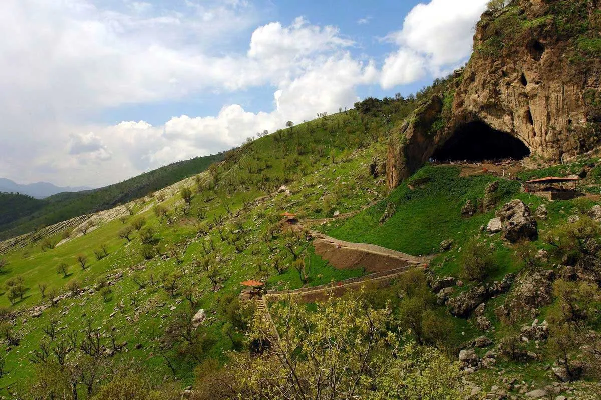
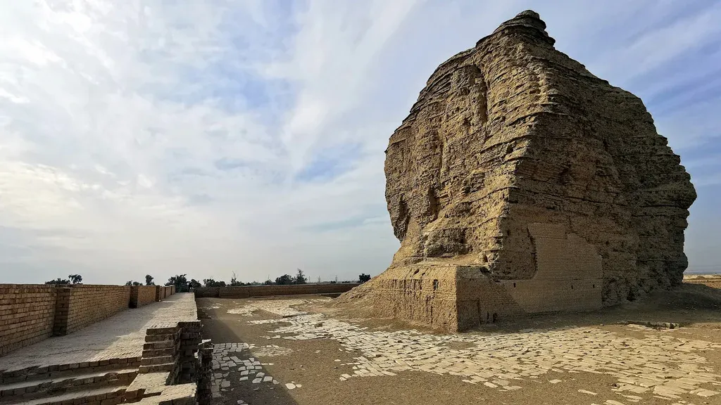
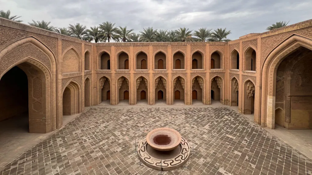
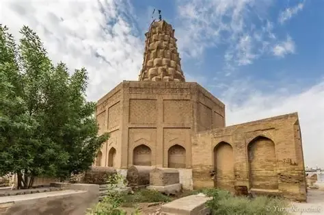
An atlas that ties monuments to the ground they stand on: limestone caves, salt domes, reed-and-bitumen ziggurats.
An academy and a library inside the platform


“This system does not replace the geologist. It frees geologists and engineers from routine work and expensive tools, and gives them room for deep analysis and the decisions that matter.”